It sounds simple enough. You have narrowed down the seemingly endless list of places you’d like to go overlanding and have even figured out when you’d like to go. Now you just need to plan your route. Where do you begin? What resources are available to help with your research? What does an ideal route even look like? Designing a good trip is more than just connecting the dots between the start and finish. If you get it right, you’re hitting the area’s highlights and some off-the-beaten-path experiences. You’re spending just enough time behind the wheel every day to arrive rested and ready to explore, and you’re always prepared with enough fuel and supplies. If you get it wrong, you could find yourself running out of gas, feeling tired and stressed, and missing the very things you set out to see. The good news is that are loads of resources available to help you plan your adventure. Here are a few of my tips for creating the perfect itinerary:
Link Your “Can’t-Miss” Destinations, or Borrow an Established Route
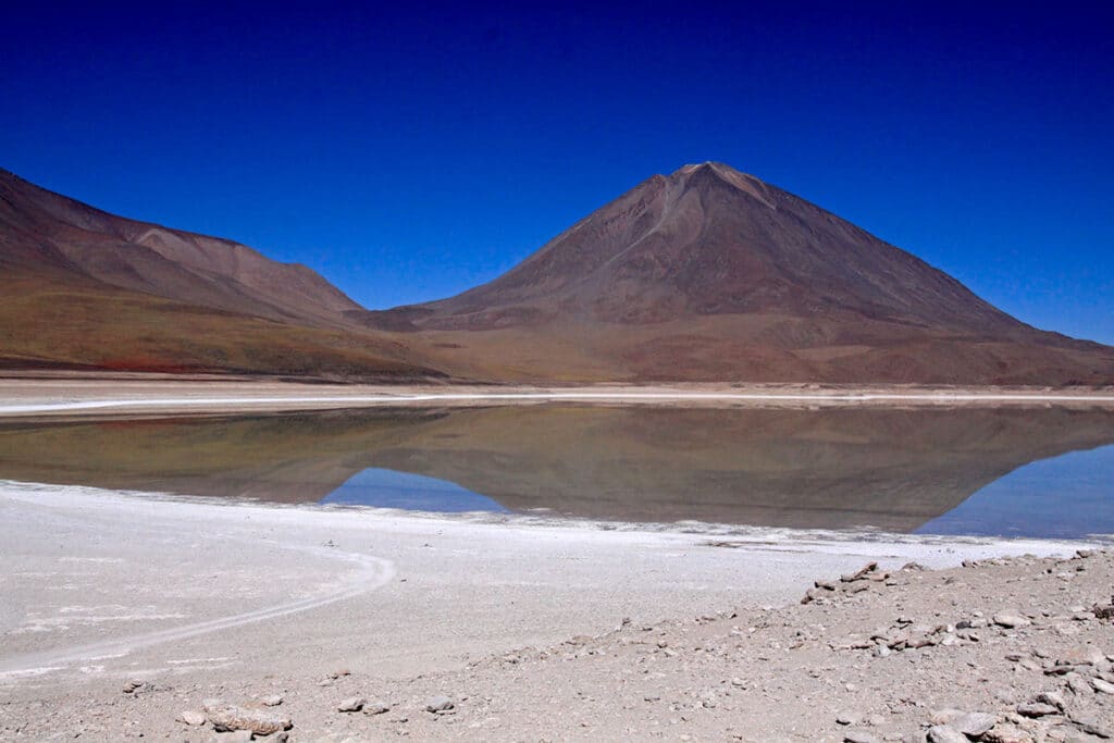
There’s a reason you’re drawn to a particular destination. Perhaps it’s epic scenery, a hidden waterfall you heard about, a challenging road you saw on YouTube, or incredible wildlife you’re hoping to photograph. I start by listing the top things that made this destination appealing and roughly plot a route between them. Allowing Google Maps or your navigation system of choice to pick the route between these points will give you a preliminary idea of your trip and how many days you’ll need to plan to see everything. From there, you can expand your trip by filling in stops and detours to break up long drives, take more interesting roads, and explore those hidden gems you’ll discover during your research.
There are a number of good apps these days that can assist in this process. I generally use a combination of them, along with a paper map, to plan my routes. I love the precision with which I can design a path on Gaia’s app and find much of their road and trail details to be accurate, particularly for domestic destinations. Gaia also makes sharing routes with other users and platforms easy. I use onX for information such as the boundaries of public and private lands. onX Hunt is particularly good for examining such designations. It is also helpful in determining road accessibility, going into such details as noting the location of fences and gates. On the trail, my Garmin is indispensable for keeping me oriented to my route.
Don’t have a list of sights in mind or don’t have the time to plan in detail? There are loads of established routes through almost everywhere in the world. If you’re new to overlanding, these are a great way to get your feet wet. Overlandtrailguides has loads of sample trips laid out in great detail. The internet is full of helpful people eager to share their routes via platforms such as expeditionportal.com, overlandbound.com, and the Overlanding Subreddit. Backcountry Discovery Routes have been established throughout much of the west. However, it’s worth noting BDRs were established with adventure motorcycling in mind, and not every route may be accessible with larger vehicles.
Another trick I use is to look at the itineraries of commercial travel companies, specifically those that travel via vehicle. Companies such as Intrepid, G Adventures, and dozens of smaller outfitters have been running overlanding trips worldwide for decades. Their routes are tried and true, meaning you can be confident there is a place to camp at the end of each day, the roads are generally accessible, you’re hitting the highlights, and each day’s drive is a realistic length. Following these routes will mean you’re sharing them with others. If that’s not your style, they can still offer a good starting point from which to add some off-the-beaten-trail diversions.
Determine What a Perfect Day Looks Like for You
Know thyself. When planning a trip, it’s critical to be realistic about your habits and health. I need a good cup of coffee in the mornings and am prone to getting hangry if I try to push on without a snack. I know I start to get tired and my attention wavers on long, straight stretches of highway without a break—similarly, a couple of hours of technical driving over rough roads can feel as exhausting as a full day on asphalt. My perfect day means getting up at sunrise for a quick breakfast and being on the road within an hour. I like to plan a stop every two hours or so for a snack, refuel, walk, or photo op. I try to plan so I’m not behind the wheel for more than 4-6 hours per day. My general rule is that I like to arrive at camp by 4 pm. I hate driving at night, especially in international destinations where animals like to warm themselves on the road after sunset.
I generally prefer a good, dispersed camp, away from other campers and with a gorgeous view of nature. I also appreciate occasionally camping with others; meeting fellow overlanders is part of the fun, and it’s a great way to pick up tips on the road ahead. Every week or so, I like to stay someplace where I can do laundry and resupply. Sometimes this means staying in a hotel, homestay, or campground. In my book, this isn’t cheating. It’s self-care that keeps me happy, healthy, and safe.
Some days there’s no choice but to put in more hours on the road – there might be no safe or available places to camp between two points. I try to plan for a shorter drive, or even a full day of rest, the following day to make up for the times this is unavoidable. I find inserting the occasional flex day into an itinerary to be a huge help. It can relieve the stress of trying to make up for lost time should you find yourself stuck in the mud for an afternoon or bogged down by the overlander’s other nemesis: bureaucracy. Plus, if you don’t need that day to make up for delays, you can always use it to rest or spend more time someplace unexpectedly delightful.
There is no right or wrong way to overland – only what’s right or wrong for you. So, think about your travel habits and plan accordingly. Avoid the temptation to veer too far outside your plan just to tick off as many places as possible. You’ll be happier arriving fresh and rested with adequate time to enjoy a few highlights. In six years of running overlanding trips, I never once heard someone say they wished the itinerary had gone faster.
Plan Your Night Stops
Now that you have a list of the highlights you can’t miss, a rough shape of the route you’ll take between them, and what the perfect typical day will look like, it’s time to start putting it all together. To do that, you’ll want to plan where you’ll spend each night. For that, you’ll need a general idea of how long it will take you to cover each section of the drive.
Knowing how long it will take to cover a section of road requires you to understand both yourself and your vehicle’s capabilities. Google Maps is generally great for determining drive times for paved roads, assuming your vehicle is capable of highway speeds and you are a reasonably average driver. Once you leave the tarmac, things get more interesting. You want to have a good understanding of the capabilities of your vehicle, its ground clearance, approach and departure angles, width, height, and turning radius. How does it handle in deep sand, snow, and highway conditions? Even knowing all these things, short of having driven your route previously, it’s challenging to determine if off-road routes are accessible by your vehicle and skills and how long they will take for you to travel.
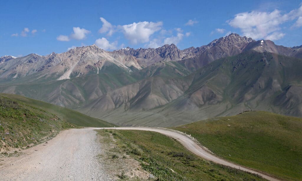
One place to begin is to see if a particular road or trail is rated. There are various rating systems for off-road driving routes out there. One common system rates trails as green (easiest), blue (more difficult), and black (most difficult). Others use numerical systems from 1-5 or 1-10. You can find these ratings via internet searches on off-road forums. The BLM and Forest Service produce maps of popular off-road routes with ratings. These systems take into account a route’s grade, road width, tightness of turns, surface type, and the size and type of obstacles. Generally, a rating will reflect the road’s most challenging section or element. So, a graded gravel road that contains one very steep shelf will usually be given a difficult rating even though the rest of the road is easy. There are a lot of factors to consider, and differences in vehicles, driving experience, and weather/time of year can all dramatically change drive times and experience. This means you must take these ratings as a general guideline rather than a firm set of rules. Difficult roads, which become more rock crawling than driving, can reduce one’s speed to as slow as 1-5 mph.
There are a couple of ways to gather more information on the condition of the route you’ll be driving. One is to take a detailed look at satellite imagery in your choice of mapping platforms. Zooming into a road on Google Maps can’t show each rock and pothole, but it can give you a very good idea of how tight turns are, where washouts are likely to occur and if there are significant hazards along the way. In the era of social media, you might be amazed to discover just how often you can find video documentation of someone driving your intended route. If a route is particularly challenging, there’s a good chance someone has recorded it and uploaded it to YouTube. There’s no better way, other than driving it yourself, to get a feel for what a road looks like. If you’re still unsure, hop onto one of the off-road internet forums and ask if anyone’s driven it lately. Overlanders love to help other overlanders.
You’ll also want to keep in mind what kind of fuel economy your vehicle gets in each of those conditions – there’s nothing worse than picking a beautiful route only to find out it leaves you 50 miles short of a fuel station. If you will need to restock on groceries, empty your blackwater tank or fill up on fresh water, make sure you add stops at appropriate intervals. I map out water sources, gas stations, and grocery stores at least double the frequency I think I’ll need them, especially for rural or remote routes.
Now you’re ready to start mapping out where you plan to spend each night. iOverlander remains a fantastic resource for finding places to camp. Just hop on and browse the map. Note how often and recently the information was updated. If no one has reported on a site in over a year, or it’s only been updated once or twice, consider that a red flag. Proceed with caution and plan a few backup sights, just in case. I like to confirm dispersed campsites by looking at onX to ensure it’s not on private land and then again over at the public lands authority for that area. There I’ll check on rules for dispersed camping, campfire use, and road closures. Of course you can always pioneer your own site for the night. Just be sure to check that it’s legal and safe to do so and give yourself a good cushion of extra time to allow for searching for a site. Google Earth is invaluable for finding pullovers that might be suitable for a night stop.
Fill In Your Route with Hidden Gems
You’re almost ready to hit the road. The last thing I like to do is fill in my trip with bonus experiences, those little hidden gems that can make a trip memorable: a secret swimming hole for a mid-drive dip, a cute little restaurant in a small town, or a short hike to an epic viewpoint. So, how do you find these? I have a few pointers:
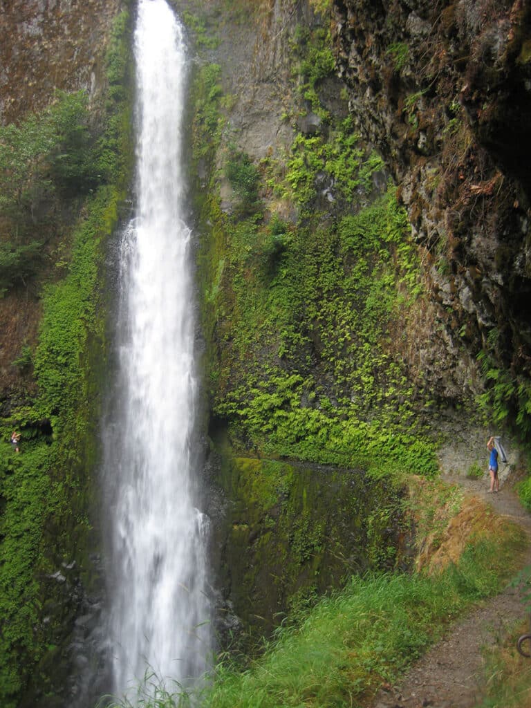
As a wildlife enthusiast, I research the best places to look for animals via citizen science apps like eBird and iNaturalist. I’ll also check out itineraries from commercial wildlife tours for suggestions and follow wildlife photographers on social media for ideas. I open the AllTrails app whenever I’m planning an overland trip. It’s fun to browse the hikes listed along my chosen driving route. A day hike is a favorite way of mine to break up a long drive, and trailheads can be excellent night stops. AllTrails is also increasingly adding off-road driving routes to its database. Atlas Obscura’s website is full of offbeat and quirky places to explore. I always make it a habit to check their website to see if there is anything listed along my chosen route worth visiting. Ghost towns, hot springs, and waterfalls are always worth a quick stop in my book.
One of the best things you can do while overlanding is to make friends. Share your campfire with the adventure motorcycle guy who got caught in the morning downpour, and he may give you the coordinates of the amazing, dispersed camp he found down the road. Ask the campground proprietor about their favorite route or where they go with their family on their days off. Not only do you have the chance of scoring some great recommendations, but these same people might also be the ones you can count on if your vehicle breaks down, you get sick, or you need a friendly face after a long day on the road. The same goes for park rangers and local law enforcement. Too often, we’re conditioned to think of authority figures as only there to spoil our fun or hand out tickets. I’ve found they’re frequently quite eager to share their personal favorite spots with a friendly, respectful traveler. Plus, you’ll know it’s a safe and legal place to visit.
In the end, if you’ve planned well, you will most likely have seen and done everything you set out to do. You’ll have felt happy, stress-free, and relaxed. But this is overlanding, and the very nature of this kind of travel means things sometimes don’t go to plan, no matter how well-prepared you are. Freak floods wash out roads, cranky customs officials hold your paperwork for hours, or you pick up a bad batch of fuel at a dodgy gas station in the middle of nowhere. I always try to remind myself that it’s not an adventure if everything goes perfectly, and it’s often the things that go off-plan that build the most cherished memories.