Most Americans have heard of the Mojave desert. A barren wasteland in Southern California full of rocks and reptiles that should be avoided by all travelers. If this is what you envision, than your really need to read this post to see what you are missing.
In late January I had 3 days to trek from Arizona to Southern California in the EXD for the start of the Baja XL Rally. I was burnt out from 9 continuous days standing on pavement at the Barrett-Jackson Auction, and in desperate need for some therapy in nature. Looking for as direct of a route as possible, it looked like the Mojave Desert would be a good spot to get some good pictures of the EXD in it’s element. Speaking with one of our owners, I learned about the Mojave Road that splits the Mojave desert in half traveling from east to west. The road is remote, but mainly just a dirt track through the desert that can easily be traversed with a high clearance vehicle.
Perfect! Knowing I could get the relief I needed, while experiencing how the EXD feels in a remote environment. Before the trip I watched a few videos on YouTube, and checked the trail conditions to make sure everything looked good. Most importantly I downloaded the .gpx route to Gaia maps, as it is very easy to get lost on this route.

The route starts just north of Needles, CA, and travels 133 miles across the desert to a location north of Barstow, CA. Yes there are signs, but not many given how many off-shoot trails you cross. Reliance on your mapping is a must, and you need to make sure you have enough fuel just in case something does go wrong. Best practices for fuel is to
- factor your on road fuel economy by .5 for 4WD hi off pavement
- factor by .25 for 4WD lo
i.e. 14 MPG Highway = 7 MPG on washboard roads = 3.5 MPG in 4WD lo on slow technical trails.
The EXD I was driving was outfitted with a 48 gal. main tank and a 5 gal. spare, so I felt confident that I could make the journey with plenty of fuel. Loaded with all the essential safety and survival gear, I aired down and started heading west on the trail.
What was most surprising was the elevation gain as I topped 5266 ft. just 35 miles in. The first area I came to was Fort Piute, which is where I learned so much about the history of the road. Without going into vast historic detail, it was built for pioneers and traders looking to get to California. The route connects all the necessary watering holes in this area, which would be much needed for travelers on horseback. These watering holes were easy spots to get ambushed, so it was very important for the US cavalry to protect these areas. You can read more about the extensive history of this road here.

The road to and from the fort was a bit rocky, and did require some use of 4WD lo to put the least amount of stress on the drivetrain while going slow. The EXD performed flawlessly, and felt very well balanced through this terrain. The kinetic mounting system allowed the house to move independently from the chassis, giving you much more control navigating the rugged route. It was also incredibly quiet, as I only heard some faint movement coming from the subframe bushings.

Passing through most of the rocky section, the trail dropped into a few washed out sections and became a sandy single vehicle track. Up ahead I could see towering trees spread out among the landscape. Before long the trail was meandering through beautiful Joshua Trees, some over 30 feet tall.

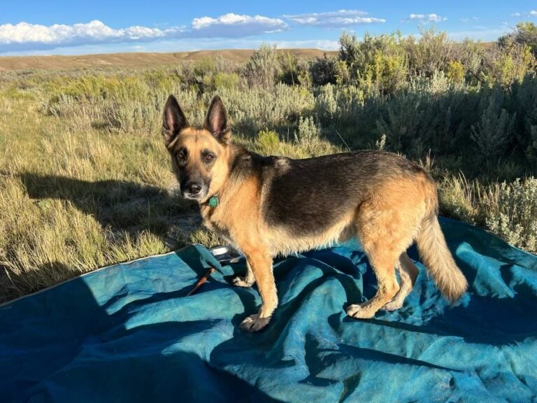
As dusk on day one approached, I was a bit behind schedule getting to the halfway point on the trail. I passed a few gawking Jeepers who requested a tour, and before long it was absolute darkness. The EXD was outfitted with Vision X ADV lights, which made seeing further ahead on the trail at night much easier. Around 10pm I found a place to park, set up camp in about 17 seconds, and was ready for a nights sleep in under 1 minute. You can’t beat that when you are tired.

I woke up pretty early the next morning, and was a spectator for a gorgeous sunrise. The outside air was clear and brisk, and the colors along the eastern horizon just popped with pink hues. It was a spectacular site, and I got to selfishly enjoy it all to myself.

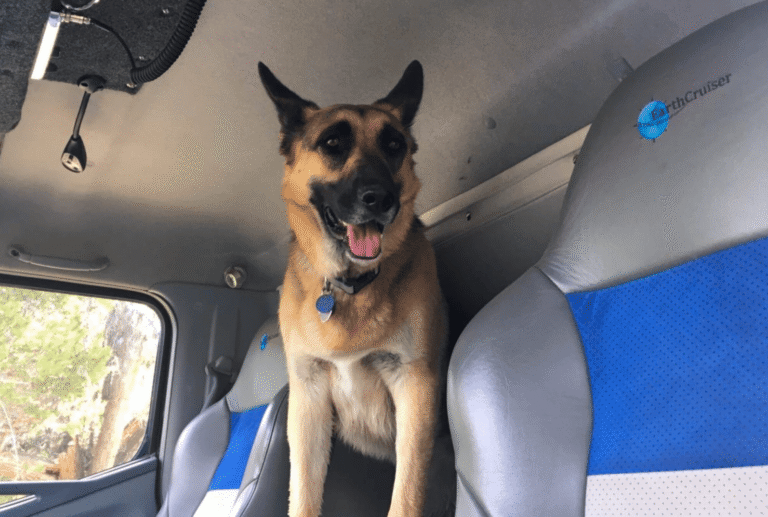
While eating some breakfast at the dinette table, it was easy to take in the wakening landscape through the 360 degree windows. I have to say the layout of the EXD is just purely relaxing. Although you’re lounging comfortably inside, with the Webasto dual-top heater maintaining a toasty temperature, you still feel surrounded by natures beauty. Everything is within reach, and accessible without feeling cramped. There are even little cubbys for drinks, power outlets and lights. I could even turn things on an off using my iPad, which was connected via wifi to the CZone touchscreen control system.


Although not wanting to, I quickly broke down camp and was back on the trail. Working my way down the sandy, whoop-de-whoop trail, I came to another key landmark. The Mojave Road Mailbox. The mailbox contains a journal for travelers to leave their mark on a road less traveled. Once you sign the journal, don’t forget to take a 500 foot walk behind the mailbox to find the frog sanctuary. Take my word… it’s worth it.

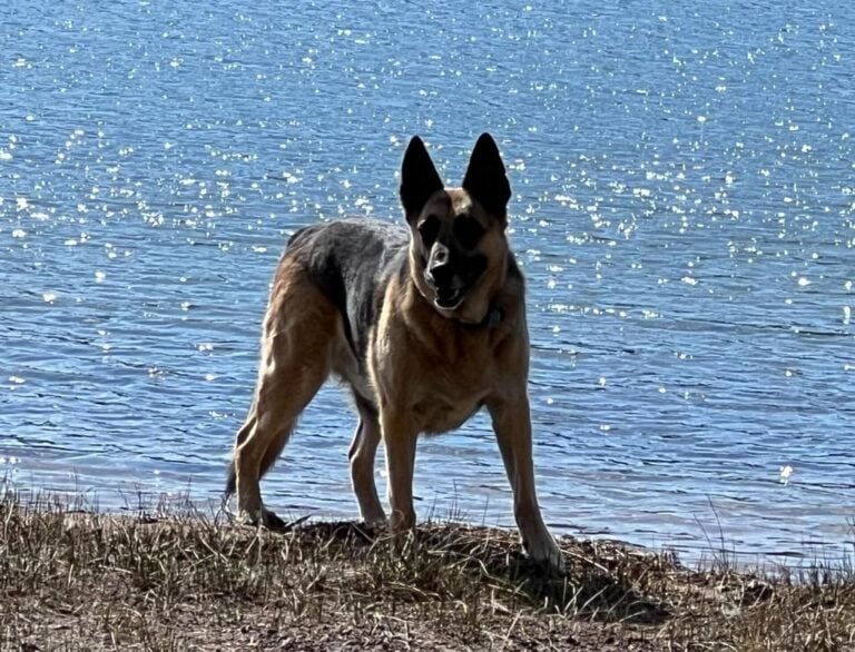
The next sight along the trail is Soda Lake. This dry lake lies at the terminus of the Mojave River, and can be very treacherous when wet. It is a good choice to avoid this section if the area was hit by a fresh bit of rain or snow. I got lucky and found that their was a solid section of single track pressed into the lake bed, which made the road easily passable. Near the midpoint of the lake there is a large pile of rocks, and each were brought by travelers of the trail. It is a Mojave Road must to contribute a rock, and read the plaque that is atop the pile. It is also forbidden to tell others what the plaque says, so if you want to know you have to find out for yourself.
The final leg follows the Mojave River through a network of sand dunes and washouts, ending at a sizable river crossing. Again, this crossing should not be attempted during the wet season as it can get pretty deep. Other owners have crossed this section with no issues in their EarthCruisers, but this not being my truck I didn’t want to test the depth. Avoiding this section I crossed the bridge and waved good bye to this fun road.

I decided to cut out of the trail early as it was getting late, and I still needed to get from Barstow to Los Angeles. Finding a gravel road I followed it to the highway, and used the on-board air compressor to get the tires back to full pressure before hitting pavement. Now at the end, it felt like the two days flew by and all I wanted to do was go back and explore this area more in the EXD.
I highly suggest this trek if you want to explore a beautiful area. You can find the .gpx route here. Just please make sure to check conditions, make sure your vehicle is capable, and that you have the right skill set to complete the journey if something were to go wrong. Most of all keep these areas beautiful. Pick up your trash and others if you find it, and respect the environment by keeping your wheels on the trail. Thanks and keep adventuring.