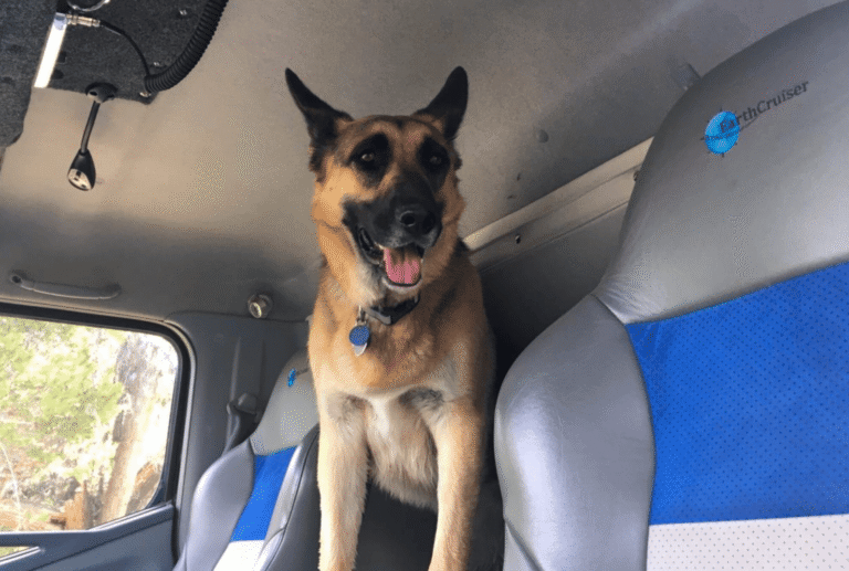
As one would expect, the EarthCruiser team is full of adventurers and that means having the right tools to navigate on and off-road. We’re often asked for advice on our favorite hacks and gear so turned to the crew to share “Favorite GPS Apps” to help stay on course.
These navigation apps are in regular rotation for Chad Knight, EarthCruiser’s general manager, who can often be found slinging through mud in his outfitted Nissan Xterra and chasing trails in the car, and on foot.

I like Gaia because of the many different map layers available for offline download. Their system makes it easy to switch between base maps and map overlays, providing different types of useful information. These layers include USFS maps, NatGeo Trails, Motor Vehicle Use Maps, International Maps, and even weather.

I don’t use AllTrails for driving navigation, but for offline map use while hiking. Many of my overlanding trips involve hiking and backpacking, and I use AllTrails to help plan these. The app allows you to search by trail name, or by area using a map. You can then read reviews, get detailed distance and elevation information, and download routes for later use. It’s a must have for any hiker.

GPS Track Editor is a Windows application for viewing, editing, and cleaning your GPS tracks. It’s non-navigation, but a very useful app that allows you to import and edit .GPX and other track files. I find this helpful to clean up a route, split it into sections, or just highlight a specific piece and export for future use in future navigation.
 MotionX GPS is an app I’ve used for years as my main navigation reference. It may seem a bit outdated, but it works really well. The zoom settings keep roads visible as you zoom out, which is a problem in some of the newer apps I have used. Offline map download is simple, and track and waypoint recording allow you to easily store and share routes.
Unfortunately it’s no longer available for download but those who currently have it can still use it and there are other crowd-sourced alternatives out there.

The Garmin Earthmate app allows you to download maps to your device and is included with the purchase of Garmin Inreach satellite communicator. By pairing your mobile device (via Bluetooth® technology) with inReach, the Earthmate app turns your mobile device into a true off-the-grid satellite companion. You can trigger an SOS anywhere in the world and communicate back and forth with the 24/7 rescue monitoring center, this is incredibly helpful for remote areas.